Is a straight line a straight line?
Surely the distance from one place to another is fixed? Or is it? A mile is a mile isn't it? Yes, but the story is a little more complex than that.
One of the things those of us planning and then treading the snow on polar expeditions have to consider a lot is distance. Most other aspects lead from this: our efficiency, daily mileages etc. It might sound a little pedantic but let me expand on just one side of 'distances' which can lead to quite public contentions.
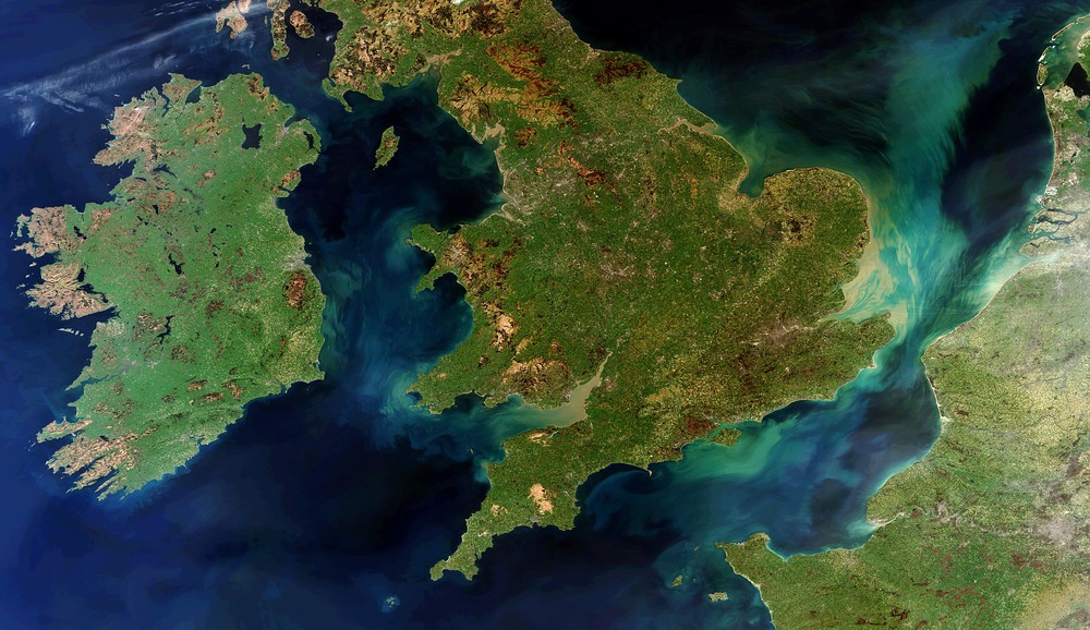 Firstly, let's think of the mainland of the United Kingdom as an island and try and work out what its circumference is - that is, the distance you'd need to walk if following the coastline all the way around. If you look at a small map and measure it, you might get about 2000 miles. If you took an enormous map and measured it again, you might get 3000 miles. If you were to walk it and measure your distance travelled by GPS, it could be spectacularly larger. If you took into account each tiny 'in and out' around each individual bit of rock jutting out into the sea, it becomes almost infinite. Why is this?
It's all about scale. In order to measure the distance or circumference of a very complex shape, you need to first make a decision of what resolution you're going to measure at. This makes it very hard to compare to the measurements made by others unless you're both on the same page.
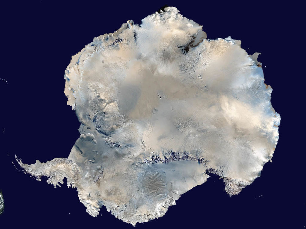
Now, let's shift this to the more familiar (well, for some at least) arena of the Polar Regions - the Antarctic continent and its permanent ice and the Arctic landmasses, plus the ocean in the middle. Distances matter a lot - one of the first things an expedition is asked about is: 'How far did you go?'. People love to be able to relate, measure, compare and contrast. My journeys don't tend to be circumnavigations, so really it's more a case of straight lines or kinked straight lines for me and my teams. Because of this, I've come up with a few rules of thumb I use for my own work, communicate to others and would suggest would be common sense in order to compare one route to another.
1) It's always tempting when vying for coverage and attention to try and embellish the stats of an expedition - we see it all the time with expeditions claiming to constantly withstand minus one million degrees when in reality it's minus fifteen and with a warm sun. This happens with distances too. During a day in the harness I will snake left and right around obstacles and essentially, will physically haul my load further than the GPS suggests is the case in a straight line. On a 1400-mile route, it could be argued that an expedition has travelled 30 or 40% further. Clearly, you can't state this, otherwise where would it end? The only way to compare fairly is to claim an 'as the crow flies' distance and then state as a footnote that the ice (when on the sea) may have drifted and the actual distance trudged is greater.
So, measure distances day to day in a straight line.
2) If you need to, over weeks and months, deviate around things, then I'm afraid that the Pandora's box of problems will explode outwards if you 'up' your travelled distance to account for the wiggling route. You have to accept that straight lines are nigh on impossible, part of the game and that a line from the start at A and the end at B is the only reasonable way to state distances.
So, full length routes are, on the scale of the whole distance, measured in a straight line.
 3) Kinky journeys. Some expeditions aren't just A-B, but they are A-B-C or even A-B-C-D-C-E-A. At this point common sense needs to be used. If a route across the Antarctic with a central point of the South Pole is planned with the altered direction at the Pole greater than, say, 40 degrees, then it wouldn't be fair to measure the distance from point A-C and ignore point B, the Pole. The distance quoted would be lower than in reality and not at all representative of the journey. If the journey is split up into phases then they should have their own straight lines.
Let me provide two up-to-date examples. The Scott Expedition currently underway is an A-B-C-B-A expedition (A is McMurdo, B is the Beardmore Glacier and C is the South Pole). The Beardmore is not directly between McMurdo and the Pole and so it is fair to support the expedition's claim of a total of 1,800 miles. If a straight line from McMurdo to the Pole was used, the return would total nearer 1,700 miles. A second example, this time in the Arctic, is my own Dark Ice Project. We have multiple phases; from Qaanaaq to the edge of the Arctic Ocean (with lots of wiggling!), from the coast to the North Pole, the reverse back to land, and then a route either as before or over the icecap back to Qaanaaq. This distance is going to be in the region of 1,800 miles too. However, a straight line from Qaanaaq to the Pole and back, without the dogleg, is a little over 1,700 miles. A journey with a right-angle at the mid-point would have a much more dramatic disparity.
So, complex journeys should be measured to be representative of the constituent phases.
Food for thought when reading about journeys long or short, cold or hot and part of my manifesto for #honestexploration.
------------------
This blog will lock fairly soon in anticipation for the Dark Ice Project and from that point, please check out that website for news and updates from the far North!